Introducing RCA RivGIS – Ver 1.0! RCA’s Web Mapping Application.
Click on the below image to open the application:
Coming Soon: RCA-AC (Other) Water Resources Stewardship Web Map
For MS4 and other water resource collaborations.

Watershed Monitoring
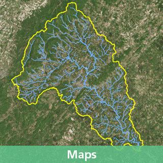
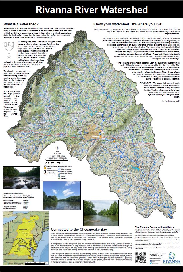
Rivanna Watershed – Kiosk Map
Watershed Elevation
Monitoring / Land Classification (NLCD)
Chesapeake Bay Watershed
Watershed Land Classification (NLCD)
Watershed Aerial Imagery
Regional Boundaries
Watershed (Sub-Watersheds)
Maps from the Ragged Mountain Reservoir Ecological Studies (Click links for higher quality images):


